Revealing the West: Lewis & Clark and the Shaping of America
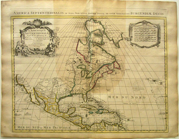
map of America by Guillaume Delisle, 1730
Terra Incognita

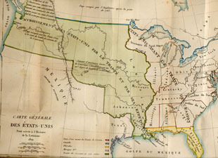
General Map of the United States by Francois Barbe-Marbois, 1829
The Louisiana Purchase

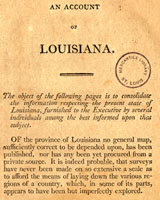
An Account of Louisiana, published by the Departments of State and Treasury in 1803
Preparing for the Journey
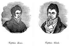
Portraits of Lewis and Clark published by Patrick Gass in 1847 
The Lewis & Clark Expedition
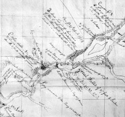
Detail, Sketch of the Columbia River, maps of Lewis and Clark published by Ruben Gold Thwaites
The Maps of Lewis & Clark
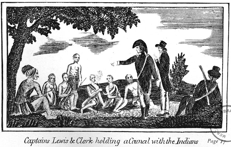
Illustration of Lewis and Clark holding a council with the Mandane Indians, published by Patrick Gass in 1847   
Native American Contributions
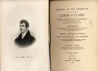
History of the Expedition of Lewis and Clark, published by Elliott Coues in four volumes, 1893
The "Writingest" Explorers

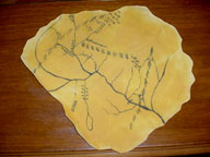
Replica map of Lewis and Clark expedition made by school children
Map Activities & Games
 
Exhibition
Home
Terra
Incognita
The
Louisiana
Purchase
Preparing
for the
Journey
The
Lewis & Clark
Expedition
The Maps of
Lewis & Clark
Native
American
Contributions
The
"Writingest
Explorers"
Map
Activities
& Games

Mercantile
Exhibits
Home